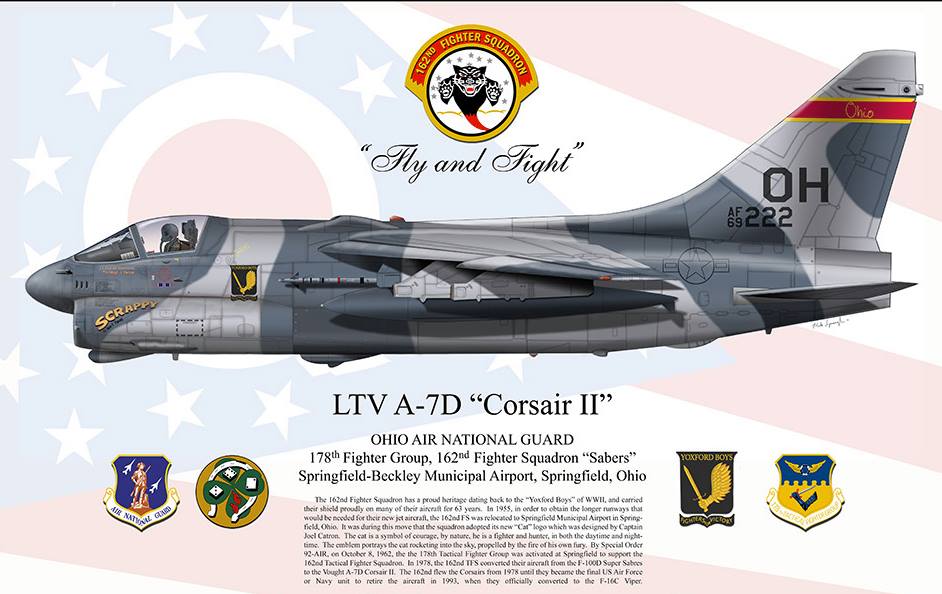
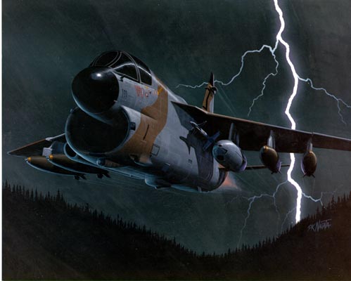
On July 9, 1985, I boarded a plane at Dayton Airport and few to San Antonio, Texas where I entered Air Force Basic (it’s hard not to type that as BASIC) training at Lackland Air Force Base. I spent 6 weeks there and then 30+ weeks at Keesler Air Force Base in Biloxi, Mississippi. I had taken the Armed Services Vocational Aptitude Battery and scored well enough to choose whatever field the base (I was joining the Ohio Air National Guard, so unlike regular Air Force enlistees, I knew where I was going to end up after I finished tech school) had an opening for. I decided to become an Inertial and RADAR Navigation Specialist. I would be maintaining and repairing navigation systems on LTV A-7 Corsair II Fighter jets. This jet first flew 2 years before I was born and the dates on the tails of the ones at our based ranged from 1968 to 1972. They weren’t exactly high tech (by 1985 standards) and are ancient by today’s standards. But, they had a technology that I’ve been hearing a lot lately, and, based on what I know about it from my Air Force training, I’m wondering if we are using the technology to its fullest potential.
First, a little more detail on the fighter jets I worked on. The A7 had two methods of navigating the globe:
- Doppler RADAR: This basically consisted of shooting RADAR waves in four directions out of the bottom of the plane, measuring the shift in wavelength when the waves bounced back and measuring how fast the plane was moving in any particular direction. By knowing the direction plane was facing, Doppler could tell ground speed and drift angle, which the plane’s computer (it used magnetic core memory) could use to keep track of where the plane was.
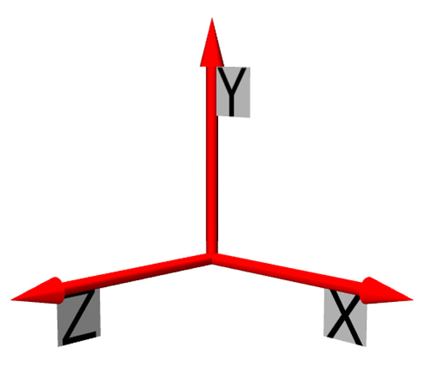
- Inertial Navigation System: This system used an Inertial Measurement unit to calculate the plane’s location. The Inertial Measurement unit had a gyroscope and three accelerometers, one on each (X, Y, Z) axis. When the plane powered up, the pilot would enter the coordinates the plane was sitting at into the computer (our base had the coordinates painted on the concrete where each plane sat when it was’t being flown). The system would get magnetic north from a compass out on the wing and then it would spin up the gyro, so that it was perpendicular to the ground and then the gyro would use gyrocompassing to locate true north. This took about 15 minutes or so, but once it was done, the gyro would be perpendicular to the ground and would be facing true north. The gyro and accelerometers were mounted to a platform that was mounted on a set of gimbals that allowed 360 movement in all directions. As the plane flew, the gyro would keep the platform level to this perpendicular, true north reference and the plane would move around this stable point in space. This allowed the three accelerometers to measure movement in three directions, which the computer could use to calculate where the plane was on the Earth.
There were other ways to navigate a plane back then, but for a military plane, that would typically be flying into hostile territory where there would not necessarily be any infrastructure on the ground, having a system that was self-contained was essential. While both of these were self-contained, only one was suitable for use in a military engagement. Broadcasting RADAR waves for Doppler would make a convent signal for enemy weapons systems to lock onto, so it was not really a viable option.
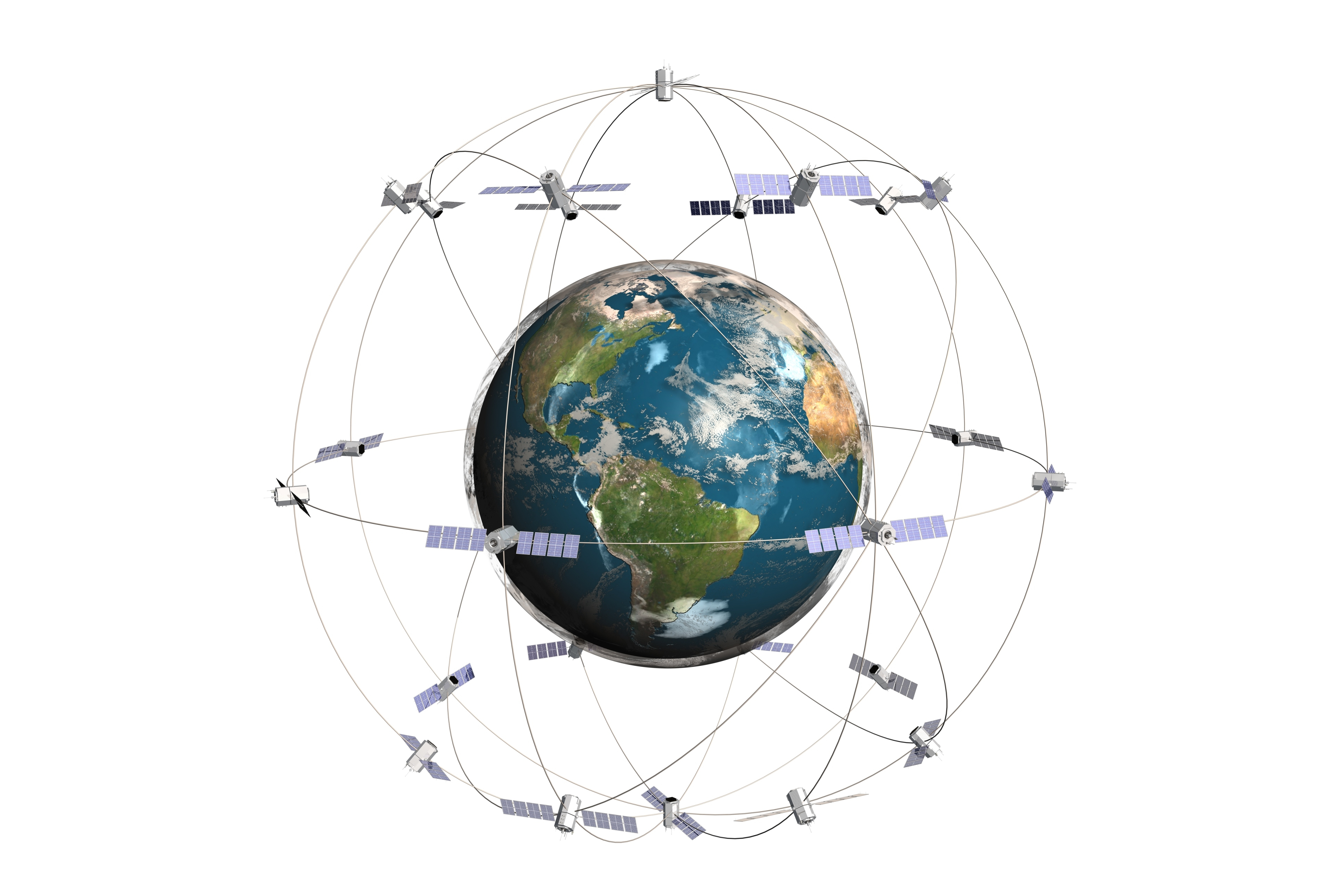
With the advent of GPS there is a third option for self-contained navigation. GPS is a good option if you are sure that the satellites that provide the signals are available wherever you want to go and will not be knocked out.
GPS is far more reliable and easier to implement. Inertial Navigation (at least using 1965 technology) was subject to errors because of friction and imperfections. They designed it to actually rotate the gyro platform over about an hour so that any imperfections in a particular direction would be minimized. If the system had a tendency to skew west, for example by rotating (and having the computer compensate for that in its calculations) that drift to the west would move around and eventually drift back east. When the pilots came back to the base, they would record the coordinates the plane thought it was at and the coordinates the plane was actually at and then we would calculate the error rate and if it exceeded certain thresholds, we would set the system up for maintenance, typically to calibrate the system so that it would account for the inherent errors in the system better.
I know that even in the late 80’s and early 90’s they were working on improved versions of this technology. LTV was working on the A7 Strikefighter.
This was a complete refit and redesign of the A7 with a new engine and all new Avionics including a new navigation system that included Ring Laser Gyros. These were supposed to be more accurate. I’m assuming a lot more advances have been made in this technology since then.
Okay, what does this have to do with anything anyone cares about today? Well, as some of you may know, I’ve had an Apple Watch for about a week now. The Apple Watch doesn’t have GPS, but it DOES have a gyroscope and accelerometers.
The iOS developer’s library says this about measuring motion with the watch:
Users generate motion events when they move, shake, or tilt the device. These motion events are detected by the device hardware, specifically, the accelerometer and the gyroscope.
The accelerometer is actually made up of three accelerometers, one for each axis—x, y, and z. Each one measures changes in velocity over time along a linear path. Combining all three accelerometers lets you detect device movement in any direction and get the device’s current orientation. Although there are three accelerometers, the remainder of this document refers to them as a single entity. The gyroscope measures the rate of rotation around the three axes.
It would seem like it should be possible for someone (I think it should be Apple) to write an application that takes the initial GPS coordinates from your iPhone and starts calculating the location of the Apple Watch using Inertial Navigation. It seems to me that this has the potential to be much more accurate than counting steps, and it can plot your location on a map. Even if it cannot do it while you are running, it could sync the data back to your phone to help enrich the tracking of your run. During the run, it could use changes in vertical coordinates to tell when you are running up or down a hill to track calories better. Also, this kind of tracking would work better on a bike when your wrist isn’t really moving rhythmically to tell how much work you are doing.
The only reason you might not want to do this would be battery life. I’m not sure if capturing motion data with the level of detail required to support inertial navigation would be more intense than what it already does, but even if you just used it when you were running without your phone, it could be a killer app.
Any developers out there want to take a stab at this? Give me a call!

One thought on “Apple Watch Doesn’t NEED GPS: Use 1960’s Technology Instead”